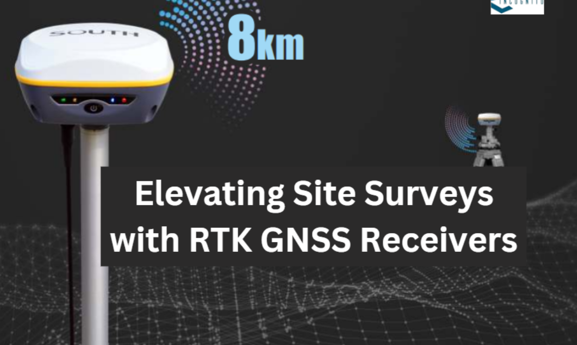
Global Navigation Satellite Systems (GNSS) have changed how we find and map places by giving very accurate location information. GNSS surveying uses signals from satellites to find exact positions. This helps people in many jobs get precise measurements.
In this article, we will:
- Look at different ways to use GNSS.
- Compare how accurate these methods are.
- Explore different surveying methods.
- See why Real-Time Kinematic (RTK) is often better than Differential Global Positioning System (DGPS).
- Find out which surveying tools are the most accurate.
What Are RTK GNSS Receivers?
RTK GNSS receivers are special tools that give very exact location information right away. They use two parts: a base station and a rover. The base station gets signals from satellites and sends updates to the rover. This helps the rover find its exact position with very high precision, down to centimeters.
Different Methods of GNSS Measurement
Single Point Positioning (SPP)
This is the simplest GNSS method. It uses one receiver to pick up satellite signals and find its location. However, SPP is not very accurate, usually within a few meters, because it’s affected by things like weather and satellite positions.
Differential Positioning (DGPS)
DGPS improves accuracy by using a reference station with known coordinates. It compares the signals from the reference station with those from the receiver, correcting errors caused by things like atmospheric conditions. DGPS can be accurate to within a meter or less, which is good for many uses like construction and farming.
Real-Time Kinematic (RTK)
RTK provides very precise real-time positioning. It uses a base station and rovers that get GNSS signals. The base station sends correction data to the rovers, allowing them to determine positions with centimeter-level accuracy. This makes RTK great for tasks needing very high precision, like detailed land surveys and construction projects.
Post-Processing Kinematic (PPK)
PPK works by recording GNSS data during a survey and then processing it later. It uses data from a base station or other sources to refine the coordinates. PPK can also achieve centimeter-level accuracy, but it takes more time since the data is processed after the survey is finished.
Which GNSS Method is Most Accurate?
Single Point Positioning (SPP)
SPP is the least accurate, usually within several meters. It’s suitable for general tasks that don’t need high precision, like basic mapping in open areas.
Differential Positioning (DGPS)
DGPS is more accurate, providing precision within a meter or even less. It’s used in tasks where precision is important, like land surveying and navigation.
Real-Time Kinematic (RTK)
RTK is the most accurate method, with centimeter-level precision in real-time. It’s ideal for jobs requiring very high accuracy, such as detailed surveys and precision farming.
Post-Processing Kinematic (PPK)
PPK offers the same level of accuracy as RTK, with centimeter-level precision. However, it requires additional time to process the data after the survey is complete.
How to Survey with GNSS
Equipment and Tools You Need
- GNSS Receiver (Rover): The device that collects satellite signals.
- GNSS Antennas: These pick up the satellite signals.
- Data Collector or Mobile Device: Used to record and manage the data.
- Surveying Accessories: Tripods, poles, and cables for setting up the equipment.
Preparation and Setup
- Check Equipment: Make sure everything is working, batteries are charged, and the software is updated.
- Set Up Base Station and Rover: Put the base station and rover antennas at known spots. Make sure they are set up correctly.
Collecting GNSS Data
- Record Measurements: Go to the points you want to measure and collect data. Make sure you have good satellite signals and stay in one place while recording.
- Add Extra Info: If needed, you can also record descriptions or take photos of the points.
Post-Processing Data
- RTK Method: Corrections are made in real time, so you get accurate results right away.
- PPK or Other Methods: Transfer the data to a computer after the survey. Use GNSS software to correct and process the data to get precise coordinates.
Why is RTK More Accurate than DGPS?
Real-Time Corrections
- RTK: It corrects errors immediately while you are surveying. This means the positioning is very precise.
- DGPS: It uses corrections that are applied later, which can introduce errors because of the delay.
No Need for a Physical Base Station
- RTK: You don’t always need a base station, so it’s easier and cheaper to use.
- DGPS: You need to set up and keep a base station running, which is more complicated.
Faster and More Precise
- RTK: Provides immediate feedback and accurate results as you work, making it ideal for fast, accurate surveys.
- DGPS: There may be delays due to the post-processing, which can affect the speed and precision.
Conclusion
GNSS surveying methods come with different levels of accuracy and techniques to suit various needs. SPP gives basic location data, DGPS improves this, and RTK and PPK provide very precise results.
RTK is the most accurate because it uses real-time corrections, making it quick and efficient. High-quality GNSS receivers with multiple satellite systems and advanced tools help achieve the best accuracy. By knowing these methods and choosing the right tools, professionals can get accurate and reliable results for their projects.


